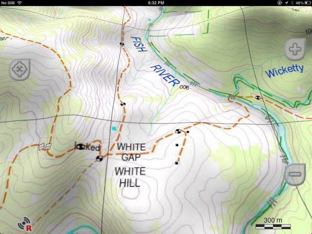
From the Ozraster link
So the answer to are they accurate ? will be no.Data is supplied by NSW Land and Property Information (LPI), 2012 release.
Maps scales are in 1:25,000 (Eastern region), 1:50,000 (Central Region) and 1:100,000 (Western Region)
Some of the LPI data is way out of date, even the recent series 3 paper maps leave a lot to be desired, if the maps are the older series then they will be well out of date.
Not the fault of the supplier, but NSW gov.
Martyn


 Reply With Quote


Bookmarks