

 Reply With Quote
Google Maps returns to iPhone after Apple fiasco
Google has released a new Maps app for iPhone users to replace a glitch-ridden Apple program panned for omitting key landmarks and cities and failing correctly to identify locations.

 ForumSage
Well I agree with your sentiment mike_ie, but I, for one, love maps.
There is nothing like getting a bunch of 1:100,000 maps and planning out your journey. Marking it with pencil and noting, on route, how the road has diverged from that on the chart. (I have noted numerous changes in Vic High Country which can amount to 200m off track error - often you go for a walk and you can find the long since overgrown original track).
But I'm still "old school", I love:
- getting out the compasss and laying down on the bonnet with your map - only to remember the vehicle has a nasty effect on compasses.
- Driving on the compass
- Looking at where the sun is, orienting myself as you drive by the shadows,
- watching where the sun sets and comparing that to west and the time of year.
- learning how to measure your distance travelled by reference to eastings.
To me it's all about the experience and my way of "having fun" in the bush.
GPS are good and so is driving a Disco4, but I like to have the navigating in my head and the gearstick in my hand!
Swaggie
Google Maps returns to iPhone after Apple fiasco
Google has released a new Maps app for iPhone users to replace a glitch-ridden Apple program panned for omitting key landmarks and cities and failing correctly to identify locations.
Master
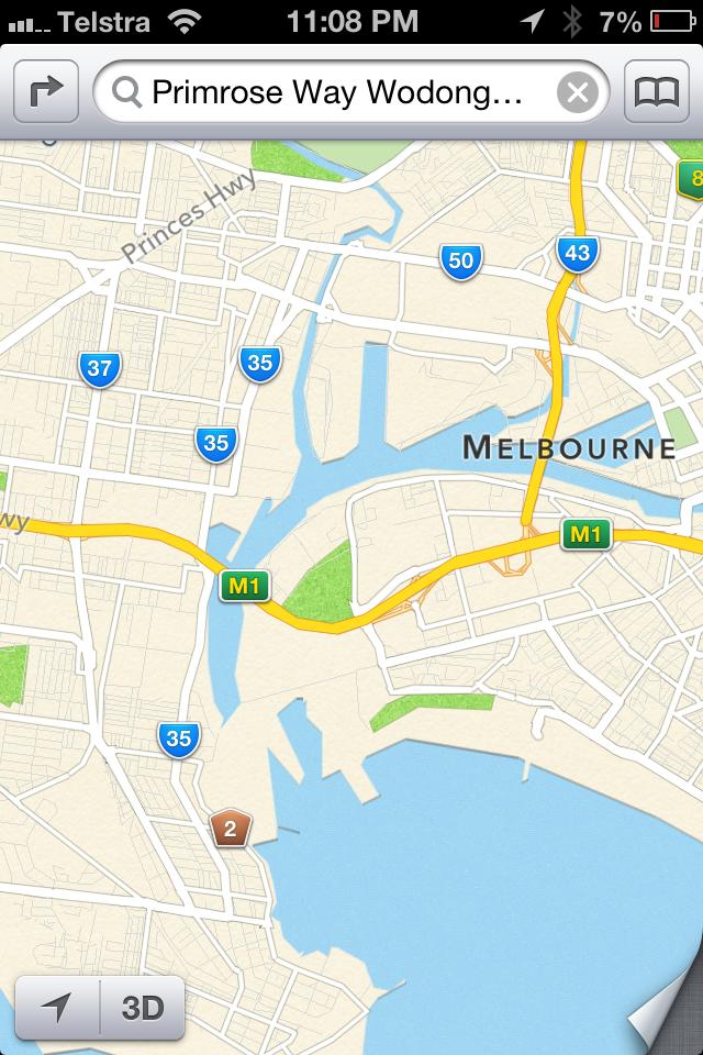
But even their maps are up the putt. Have a look at the Yarra river in Melbourne under the Westgate bridge. The Yarra doesn't flow to the bay anymore.
YarnMaster
ImageUploadedByTapatalk1355427329.866112.jpgOriginally Posted by Gillie

So what's the problem? Or are you talking about the 3d views?
Master
Had a read of the original article and had to laugh at the couple travelling from Adelaide to Mildura. Why would anyone even need to use a gps system of any kind to make this kind of trip. Keep your eyes on the road and follow the signs.
Master
This is the problem..... If you are a container ship looking to unload and using apple maps!
YarnMaster
It looks like it is a glitch in the conversion of satellite imagery. The are a couple of lines in the satellite images at some resolution so I'd guess it's detecting this as an enclosed area. For all practical purposes it's not going to be a problem.
The idea that a pilot of a container ship is going to be using a land navigation app is the most patently absurd thing I've heard in a very long time. A captain that did so would be a likely nomination for the Costa Concordia medal for outstanding contribution to maritime navigation!
Wizard
Darwins' theory would ensure these idiots did not procreate.
but that's not socially acceptable, we need to support these idiots and give them a baby bonus to reproduce.
oh well.....
I was out giving my daughter a driving lesson last weekend, and attempting to teach her many of the things you list, like staring at a map before leaving to roughly fix the relative positions of places in her mind, knowing the points of the compass and how to use the sun to roughly navigate.
Chances are she'll politely listen to old dad ramble on for a while before whipping out her smartphone, but you've got to at least make the effort!
I have a GPS which I find semi useful, but it is wrong almost as often as it is right, with new roads, new estates, naming suburbs differently to what the locals do, etc etc.
Master
I think the Darwinism App that is disguised as Apple maps is fantastic. Because seriously, some of these people getting lost are a waste.
I do realize that some of these places are rural. But we do have sealed roads in the country.
Also I find apple maps to be really good for satellite images. They are alteast 2-3yrs newer than google.
 Posting Permissions
| Search AULRO.com ONLY! |
Search All the Web! |
|---|
|
|
|
Bookmarks